Skip to content

4 useful apps for geological mapping

May 14, 2025

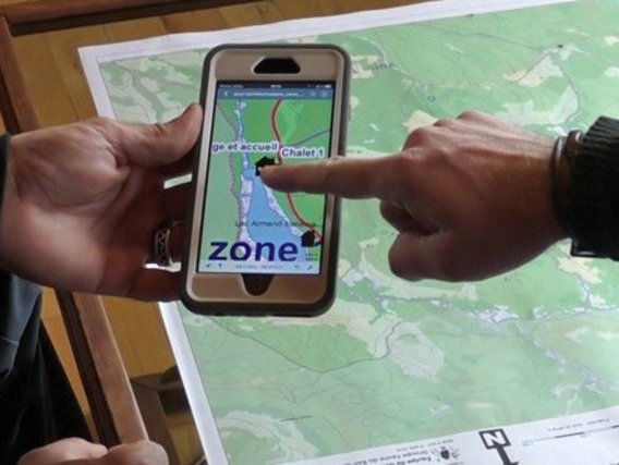
Telefone celular com um Karenapp sobre um cartão

O geological mapping involves making and recording objective geological observations - in the field - to produce a map containing data on the types of rocks present in a given area, the contacts between geological structures and lithologies, superficial deposits and topographical and geomorphological features.

In this context, some apps can make day-to-day fieldwork easier via mobile phone, with the possibility of organising in a practical way the acquisition of descriptive and interpretative data collected in the field, description of the route (vehicle mileage, starting point), acquisition of photographs and geographical coordinates (via GPS).

Available for Android or iPhone (iOS) devices, these tools integrate the information collected during field work in a simplified, organised and logical way, before transferring it to the technical report and the final map.

With this in mind, Saga has put together a list of four useful apps that you may not know about but need to download to your device: Avenza Maps, Polaris GPS, Smart Geollogy and FieldMove Clino.
1- Avenza Maps

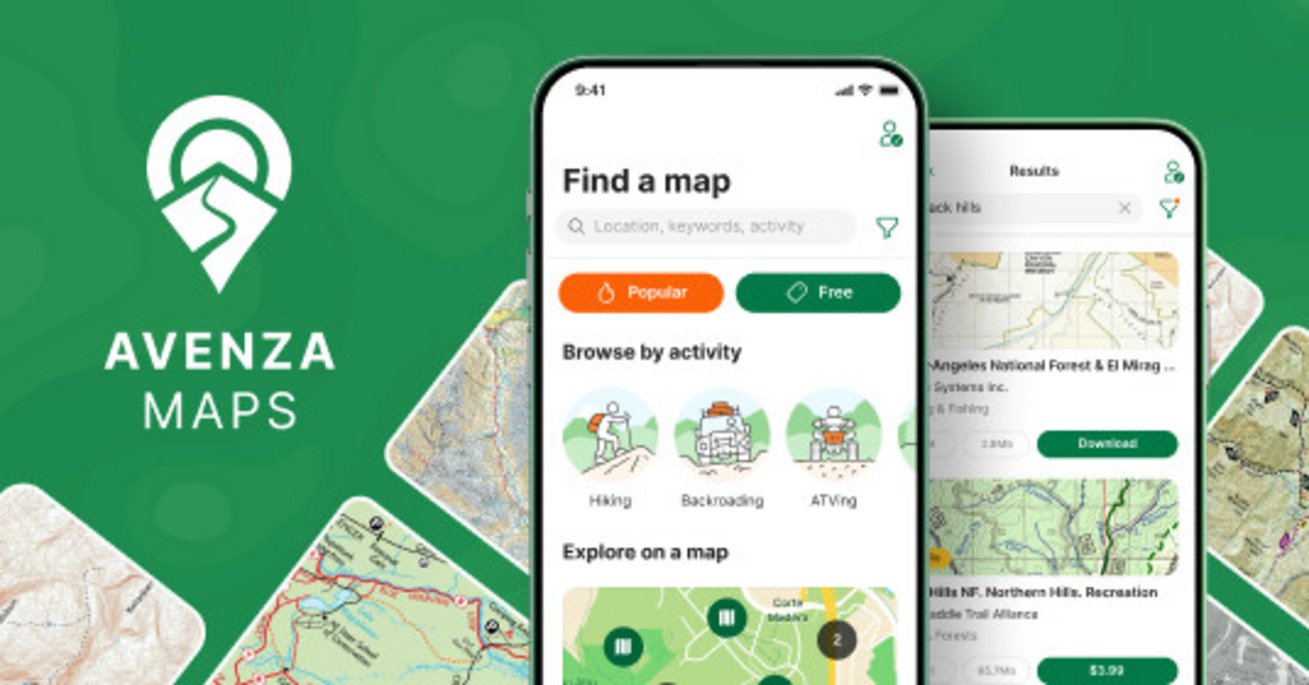
The Avenza Maps app is a fast and powerful offline map reader for mobile devices. With it you can download and open maps, scroll, zoom, use GPS to locate yourself on the map, drop markers, record GPS tracks and measure areas and distances.

In this application, users can import any geospatial map in PDF, GeoPDF or GeoTIFF. The maps are activated on import for use in the application. For users of the free subscription tier, a maximum of three maps can be activated at any one time. Subsequent map imports require previous maps to be deactivated and deleted before the new map can be activated for use.

In addition to importing, the Avenza Map Store contains high-quality maps from around the world, including topographic maps from the USGS and Canada. The Map Store can be accessed directly through the app to find maps for hiking, recreation and other activities. Maps from the Map Store can also be downloaded.

All maps can be used offline. Maps obtained from the Avenza Map Store or imported into the app can only be viewed in the app on an iOS or Android device and cannot be exported for viewing on a PC.

Maps downloaded from the Avenza Map Store do not count towards the app's import limit and you can download as many maps as you like, free or paid.

For users who need more than three maps active at the same time, you can get a Plus subscription to import and activate an unlimited number of your own maps.

Avenza Maps aberto no telefone celular
Avenza Maps

2- FieldMove Clino

This geology app allows you to use your phone as a traditional hand-held compass as well as a digital clinometer to measure and capture the orientation of linear and planar structures in the field. FieldMove Clino allows you to quickly take large amounts of measurements, making your data set more statistically reliable. You can also capture and store georeferenced digital photographs and text notes.

As well as supporting Google Maps online, the FieldMove Clino also supports offline maps, so you can import your own georeferenced base maps and collect data while offline. Data can be exported as MOVE, CSV or KMZ files and then imported directly into FieldMove, Move or other applications such as Google Earth.

O logotipo do aplicativo acima das letras. O logotipo é um martelo em um círculo metade vermelho, metade branco. O círculo é emoldurado por um quadrado cinza com cantos arredondados.
FieldMove Clino

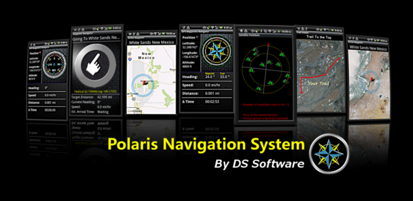
3- GPS Polaris

Polaris is an extremely accurate GPS navigation system with maps of the entire world and a number of interesting functions.

The application has location and tracking features such as a compass, odometer, altimeter, speedometer and even marine navigation instruments. The tool is ideal for any type of journey, and is especially useful on footpaths. The system has interfaces in Portuguese, Spanish, English, Italian, French and German. The application is completely free and can be used on both tablet and smartphone.

Sete visualizações diferentes do aplicativo GPS Polaris abertas em telefones celulares
GPS Polaris

4- Smart Geology

In this app you'll find a complete Mineral Guide, containing a list of minerals with photos and descriptions, a very intuitive geological time scale, a dictionary with several important geological terms and a few other features.

The application is entirely in English, so some knowledge of the language is required.

The platform features a handy mineral classification chart with groups and subgroups, as well as a dictionary of common geological terms and a basic geological time scale. It's a great study tool for any Earth science student and a useful mobile reference guide.


Did you miss an app? Get in touch contact us and send us your suggestions!


Back