June 19, 2020
The use of apps is increasingly helping companies and individuals to reduce their dependence on paper, swapping folders and physical files for smartphones and tablets.
In the field of mining tasks such as drawing, making calculations, monitoring equipment, following up work and delivering projects have been simplified by technological development, where apps make the routine and lives of professionals and students in the field easier, simplifying processes, increasing productivity and providing great support for organising and storing information.
With this in mind, we've selected a list of 7 mining apps that will make your life easier, check them out:
AutoCAD is widely used in all branches of engineering, especially civil engineering. However, it is also widely used in mining projects. It is avery complete, easy-to-understand and very interactive piece of software. In mining, we can design borehole meshes, topographic and borehole profiles, 2D and 3D analyses, infrastructure projects such as crushing plants, processing plants, floor plans of built-up areas, among other endless applications.
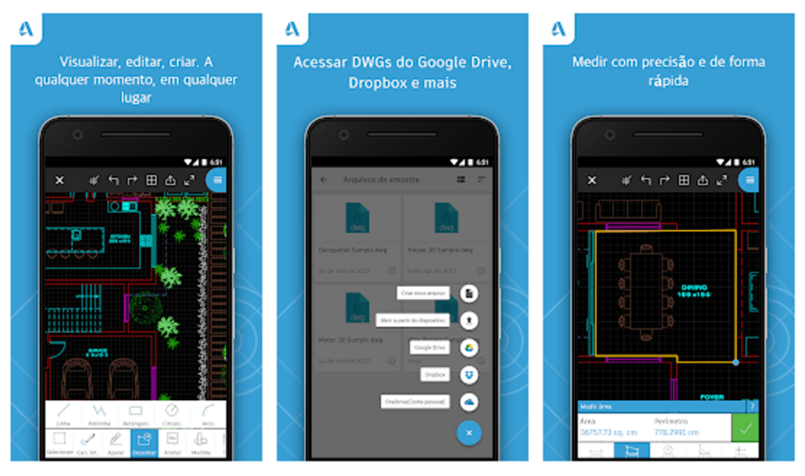
For work in the field, the AutoCAD - DWG Editor app offers many of the tools found in its desktop version. These include the ability to open and modify .DWG files, change zoom and pan, rotate objects and take on-site measurements that can be imported as a standalone file.
One-touch access simplifies many of these actions and any design can be sent to other interested parties with one click. The app is available for IOS and Android and is free of charge.
Another useful feature is that a GPS algorithm will display the user's exact position within a drawing or architectural plan. AutoCAD - DWG Editor can be accessed while offline and any changes will be synchronised with existing files as soon as the user has Internet access.
The free version of the app has some limitations. To take advantage of all the features of AutoCAD - DWG Editor, users need to upgrade to AutoCAD - DWG Editor, which adds a number of tools, such as creating a project from scratch from their smartphone (since the app can only visualise and change projects that have already been made).
Dedicated email support is offered in the event of problems or queries. The developers offer a seven-day free trial before the entire package needs to be purchased.
AutoCAD for mobile devices subscription plans are available in these options:
The Avenza Maps application is an offline map reader for mobile devices. With it you can download and open maps, scroll, zoom, use GPS to locate yourself on the map, drop markers, record GPS tracks and measure areas and distances.
In this application, users can import any geospatial map in PDF, GeoPDF or GeoTIFF. The maps are activated on import for use in the application. For users of the free version, a maximum of three maps can be activated at any one time. Subsequent map imports require previous maps to be deactivated and deleted before the new map can be activated for use.
In addition to importing, the Avenza Map Store contains high-quality maps from around the world, including topographic maps from the USGS and Canada. The Map Store can be accessed directly through the app to find maps for hiking, recreation and other activities. Maps from the Map Store can also be downloaded.
All maps can be used offline. Maps obtained from the Avenza Map Store or imported into the app can only be viewed in the app on an iOS or Android device and cannot be exported for viewing on a PC. Maps downloaded from the Avenza Map Store do not count towards the app's import limit and you can download as many maps as you like, free or paid.
For users who need more than three maps active at the same time, you can get a Plus subscription to import and activate an unlimited number of your own maps.
For readers interested in specific apps for geological mapping we have published an article on our blog with apps that can make day-to-day fieldwork easier using a mobile phone, with the possibility of organising the acquisition of descriptive and interpretative data collected in the field in a practical way, describing the route (vehicle mileage, starting point), acquiring photographs and geographic coordinates (via GPS).
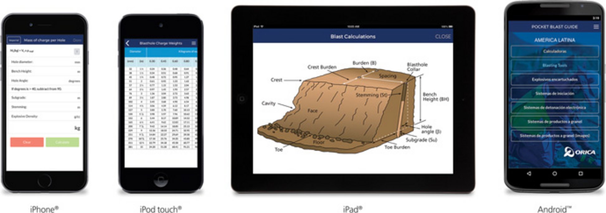
In Pocket Blast, users can perform calculations for rock blasting.
As well as allowing users to make calculations for blasting rock with explosives, the app also offers conversion functions, product information and tools for managing operations on mobile devices.
The tool is a pocket guide to explosives operations and can be used even offline or in remote areas, guaranteeing access anywhere and at any time. Updates made in offline mode are automatically saved when the user reconnects to an internet network.
The Orica Pocket Blast Guide is free to download, is in English and is available for iOS and Android (the device must have a minimum screen size of 640 x 960).
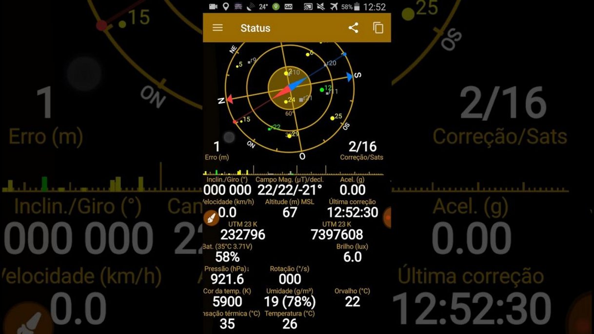
GPS Status & Toolbox is a GPS application for Android that allows you to detect locations and positions, as well as identify satellites. The app also recognises the strength of satellite signals, tells you the accuracy, speed, acceleration and bearing by measuring the distance by degrees from one object to another.
The app shows you how to navigate by finding out where objects and people are everywhere. Positions are categorised based on east, west and a destination reference point.
GPS Status & Toolbox has very precise tools. It carries compasses that can level, mark and share your location, as well as guide you to your destination. GPS Status & Toolbox only runs on Android smartphones from version 1.6 onwards, is in English and is completely free.
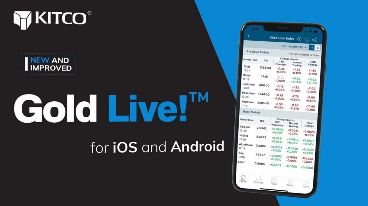
This tool provides the latest market price quotes, charts and video news on mineral commodities, as well as expert support for users with critical market information, live quotes and much more.
The app is a good option for those who want to stay up to date with the latest news on precious metals, finance, shares and mining. On the platform, users receive real-time notifications sent directly to their smartphone with the biggest business news.
When browsing, you can find market data on all precious metals, base metals, mining shares, cryptocurrencies, foreign exchange and much more - always just a tap away.
Gold Live won the gold medal for best mobile app design at the 2019 Canadian Online Publishing Awards (COPA) in the business division.
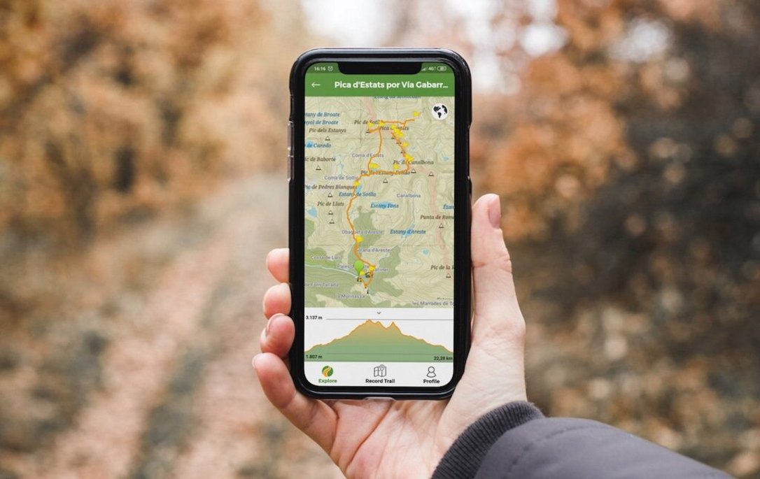
Similar to Avenza Maps, Wikiloc is a useful app for fieldwork and can help with geological research and mapping activities. In the app you can record your own routes on a map, add waypoints, take photos along the route and upload them to your Wikiloc account from your mobile phone.
Users can also access free offline topographical maps from around the world to use without coverage or data. In addition, the app can turn the mobile phone into a GPS navigator that will guide you with a heading indicator and audible alerts to warn you if you stray from the route during navigation.
Wikiloc also allows you to search by area where you can find trails that pass through specific areas of the region you have chosen to explore.
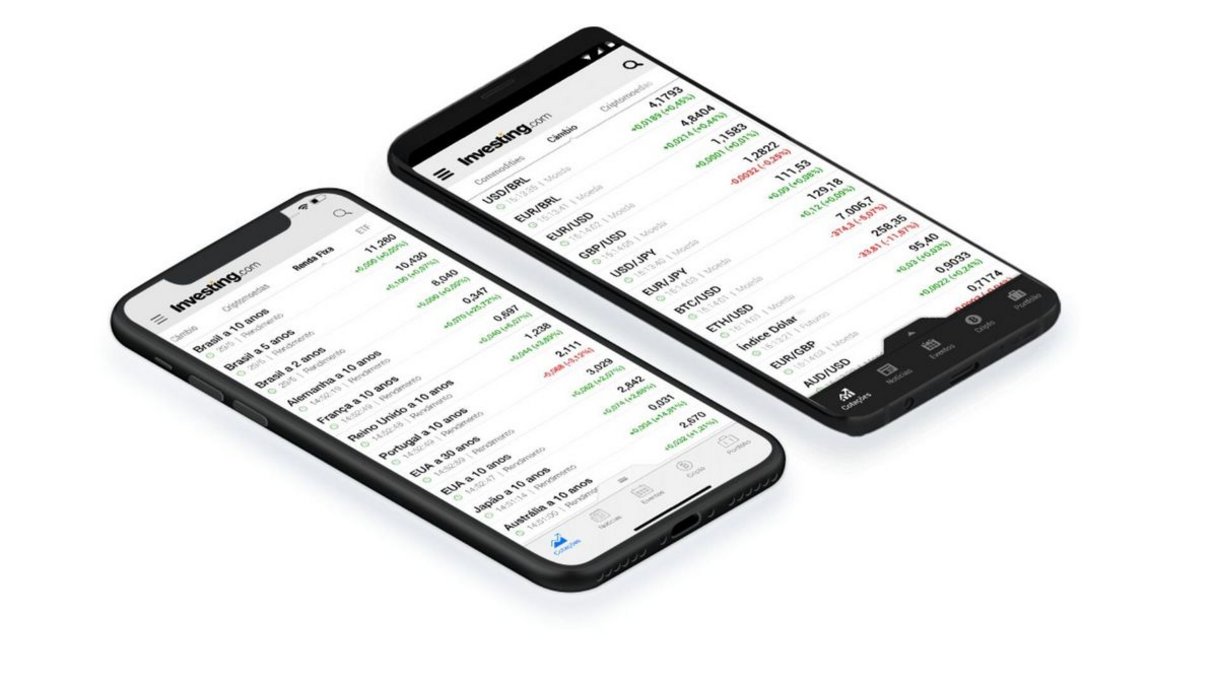
Investing.com offers free quotes and a range of financial tools covering a variety of global and local financial instruments. It's a good option for traders and investors in mineral commodities.
The app provides real-time quotes on more than 100,000 financial instruments traded on more than 250 exchanges worldwide, offering detailed information on foreign exchange, indices and shares, futures and options, products, rates and bonds.
On Investing.com, users can also make use of completely free alerts with price and variation notifications, customisable for any instrument or economic event.
Do you use any apps as a student or at work? Share it with us!