Skip to content

Geological Modeling and Mine Planning

February 10, 2022

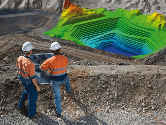
Um modelo de mapa de uma mina a céu aberto

Geological modelling is the process of converting and reconstructing geology and its processes into a 3D computer model. The model includes structural, lithological, geochemical and geophysical data, geophysical channel data, trench data, borehole data and other sampling data are included in the model sampling data.

In other words, all available data is integrated into a three-dimensional model of the geology - on and below the surface. Detailed knowledge of a mineral reserve is the key to assessing the economics of mining ventures.

Mine Planning is the process of determining the most efficient methodologies and activities for mining and extraction, with a view to making the best use of mineral resources.

Do you know the relationship between the two concepts?
In this material we will cover important notions about each of the themes and the relationship between them, covering the following topics:

  • Basic concepts about Geological Models and Mine Planning
  • The relationship between geological models and mine planning
  • Main software used

Geological modeling

A geological model is a computerised representation of lithologies, structures, geochemistry, geophysics and sampling data (boreholes, channels, trenches, etc.) on or below the surface of Planet Earth (Fallara et al., 2006).

A 3D model is the result of the union of:

  • Geological mapping;
  • Structural analyses;
  • Geophysical data;
  • Analysis of boreholes;
  • Analysis of laboratory samples;
  • Geochemical analyses;
  • Geophysical data;


As this work is done, it becomes possible to identify where the mineral resource (ore) is located, what the boundaries are, its quality and quantity (grade) and the nature of the environment in which this mineral resource is found, for example. Thus, sections are created that will define the scope of the body under study.

The product generated illustrates the evolution of geological knowledge of a deposit, in which it is possible to quantify and qualify the mineral resource. This is a preliminary and essential stage for Mine Planning.

Modelling can be classified into two main types: explicit and implicit modelling.


Explicit geological modeling

In this type of modelling , the contours of the ore body are manually digitised as individual cross-sectional geological interpretations across the entire length of the ore body and then joined together to create final models. The geological model is therefore a direct function of manually constructed surface elements.


Implicit geological modeling

It's a process where the model is rendered by evaluating a set of input data using a mathematical function. This process eliminates the heavy lifting by using mathematical tools to visualise different aspects of the data in 3D. Discrete variables such as lithologies can be used to build surfaces, as well as continuous variables such as ore grades.

Instead of presenting a model built from rigid geometric constructions, the visualisations echo the natural forms found in reality.

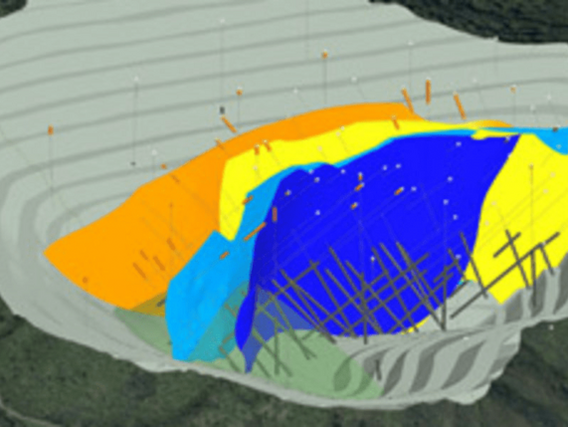
O planejamento de uma mina ilustrado com a ajuda de modelagem.

Mine planning

Mine planning begins after obtaining prior information about the deposit to be exploited. This stage determines, for example, the mining method to be used throughout a mining operation.

For efficient planning, an attempt is made to incorporate relevant data from all fields related to mining: geology, geotechnics, geochemistry, hydrogeology, mining operations, waste and tailings management, the environment and social sciences, mine closure among others.

Proper mine planning is indispensable for the success of the venture, since it is the decisive process for the conduct, development and success of the mining activity.

Data provided by the Geological Model to Mine Planning

By analysing geological models, it is possible to assess the spatial organisation, volume and estimate the contents of subsurface deposits. This is because three-dimensional models can be used to classify and interpret rocks and their structures, thus increasing the amount and accuracy of information and reducing the risks inherent in mining activities.

Geological models help provide the following data for mine planning:

  • Geometry of the mineral deposit;
  • Thickness and volume of the deposit;
  • Presence of geological structures;
  • Best way to safely manoeuvre workers, equipment and materials;

Geological modelling can be carried out continuously, as long as the mine is active, helping with short- and long-term mining planning, and making it possible to indicate other sites where there is ore.

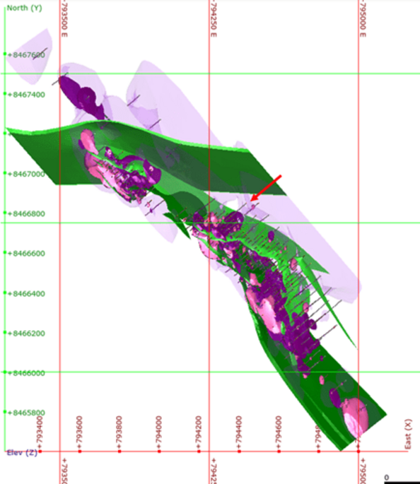
Modelo geológico elaborado pelo software Leapfrog GEO
Modelo geológico elaborado pelo software Leapfrog GEO (arquivo interno SAGA).

Geological Modeling and/or Mine Planning Software

Nowadays, with continuous technological development, there are a number of different software packages on the market that aim to produce a mining plan based on three-dimensional geological models.


Geological modeling software:

  • Datamine
  • Leapfrog
  • CADSMine
  • SURPAC
  • VULCAN
  • MINEX


Mine Planning Software:

  • Mine2-4D
  • MINEX
  • XPAC
  • Minesight
  • VULCAN


There is a clear shift in the mining industry with regard to the needs of the geological model: it is one of the first steps in the resource evaluation process and its main function is to define the physical properties and characteristics of the ore body.

As such, the geological model has a dominant impact on the entire mine planning process.

Would you like more information on geological modeling and mine planning?

Our team is made up of geologists, mining engineers and technicians who work pragmatically to find the best and most innovative solutions for our clients.

The construction of geological models requires time and specific planning, with teams specialising in the subject, so if you need a team to help you with work like this, you can count on DMT!

References


Back