January 11, 2022

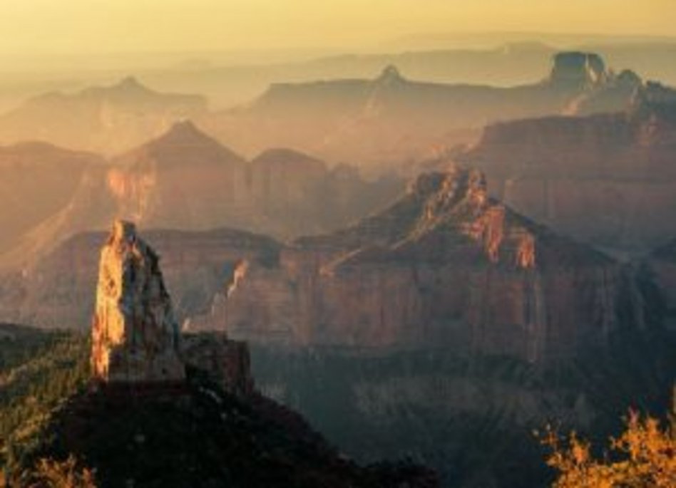
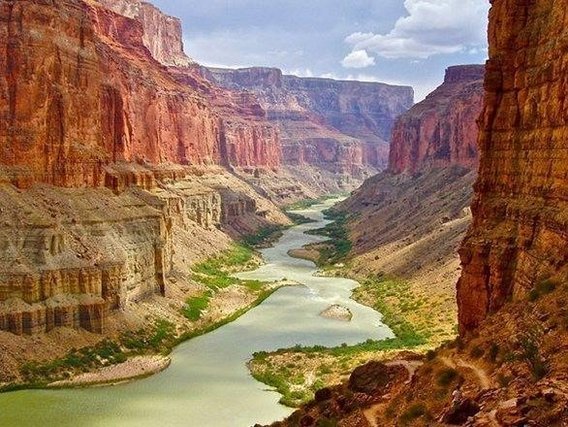
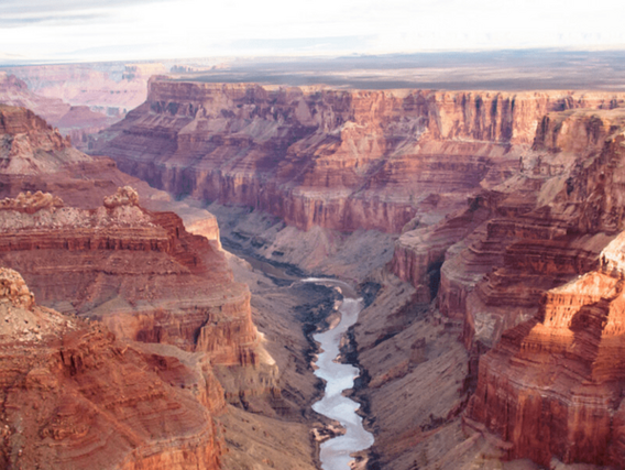
The Grand Canyon is an extensive plateau and river valley region characterised by steep, deep canyons carved out over millions of years by the Colorado River, in the north of the state of Arizona, southwestern United States. It consists predominantly of sedimentary rocks in horizontal layers. Considered a "geological library", the Grand Canyon is one of the most studied landscapes in the world and one of the places with the best examples of erosion of arid terrain and observation of stratified layers.
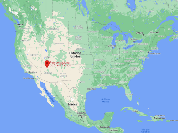
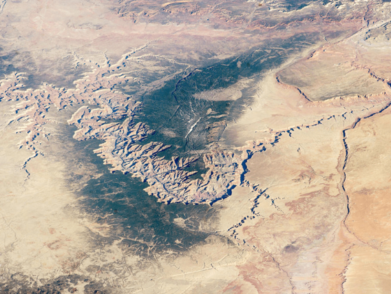
The region constitutes the Grand Canyon National Park, characterised by:
The canyons are exceptionally large, ranging in width from around 160 metres to 29 kilometres and stretching in a winding course from the mouth of the Paria River in northern Arizona to near the Nevada state border, an incredible distance of around 446 kilometres. The canyons reach depths of up to 1.8 kilometres. Hence its name: the Great Canyon!

The Grand Canyon is of immense geological importance:
There is nowhere else on Earth where the pages of geological history can be read so directly to reveal the events recorded in its layers. In addition to geology the Grand Canyon contains several important ecosystems.
It also stands out for being an ecological refuge, with relatively intact remnants of declining ecosystems (such as boreal forest and desert riparian communities). It is home to numerous rare, endemic (found only in the Grand Canyon) and specially protected (threatened or endangered) species of plants and animals.


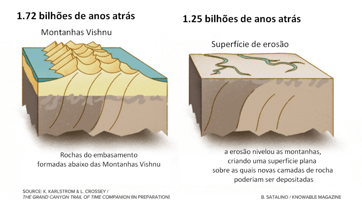
The history of the formation of the rocks that make up the Grand Canyon begins around 1.7 billion years ago (Proterozoic Eon), with the formation of metamorphic rocks (rocks that have been modified after their formation due to changes in pressure and temperature deep in the earth's crust), with igneous intrusions (the name given when magma or lava enters or cools on top of a previously formed rock).
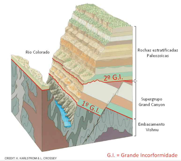
The name given to this group of rocks is the Vishnu basement, what is known in geology as the crystalline basement: the oldest rocks that provide the support for sedimentary rocks to be deposited. They were formed when two ancient tectonic plates collided, generating volcanic islands and magmatism. Over time, they were eroded and generated a flat surface, where the sedimentary rocks of the Grand Canyon Supergroup, also from the Proterozoic Eon, were deposited.
Between about 1.75 billion and 1.25 billion years ago, the geological history of the Grand Canyon is lost: erosion has erased the rocks of that period like chapters torn from a history book: geologists call it "The 1st Great Unconformity". This unconformity can reach up to ~1.2 billion years of lost rock record, due to erosion or non-deposition.
The story begins again between 1.25 billion and 730 million years ago, when new layers of rock, known as the Grand Canyon Supergroup, formed intermittently. The sediments were carried to the bottom of the prehistoric seas and hardened there, forming layers that include a 1.25 billion-year-old limestone studded with algae fossils, the oldest recorded life in the canyon.

When the rocks of the Grand Canyon Supergroup were deposited around 1.2 billion years ago, an ancient supercontinent, Rodinia, was forming. In this process, the continuous uplift and tilting of these layers generated many erosive discordant surfaces. Around 700 million years ago, Rodinia began to fragment, generating fractures that resulted in the so-called 2nd Great Unconformity, around 550 million years ago.

Over the next few hundred million years, between around 508 million and 270 million years ago, the horizontally layered rocks that form the upper two-thirds of the canyon walls - the limestones, shales and sandstones of different red colours - formed. Sediments fed by the ocean continued to accumulate and depositional environments from shallow seas to eolian land are recorded in this sequence (generically called the Palaeozoic Era sequence).

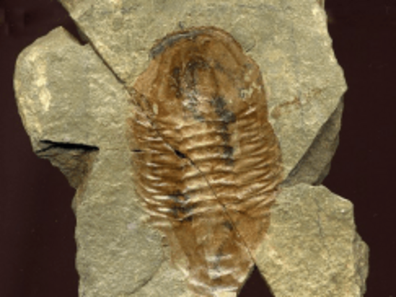
These rocks present a diverse fossiliferous record - they were formed after the so-called "Cambrian Explosion", a key moment in the diversification of life on Earth: fossils of marine and terrestrial invertebrates, vertebrates and plants, the most common being small marine creatures such as brachiopods, bryozoans, corals and crinoids, and even sharks' teeth!
These rocks also record the so-called Great Mass Extinction of the Permian period, around 250 million years ago. At that time, another supercontinent was formed, Pangea.
Then, between 60 and 30 million years ago, the collision and subduction of two tectonic plates, in the Orogenic event called Laramide, resulted in the formation of the Rocky Mountains of North America.
During this period, it is believed that the so-called Farallon Plate, an ancient oceanic tectonic plate, plunged over the North American Plate (subduction process).
This plunge or subduction changed over time: instead of the plate subducting at the usual inclined angle, the Farallon Plate probably subducted at a shallower angle and at a faster rate. This allowed the deformation to move further into the continent and caused the terrain of the Rocky Mountains and also the Colorado Plateau to rise a few thousand metres, creating a plateau through which the Colorado River could cut.
This elevation explains why, for example, rocks formed on the ocean floor are today at altitudes of up to 2,700 metres - the Kaibab Limestone is the uppermost layer of the Grand Canyon and was formed on the ocean floor.
Finally, the last part of this story, beginning "only" between 5 and 6 million years ago, the Colorado River began to create force to open its path, carving and shaping the rocks there, leaving the impressive canyon we see today.
Even today, these forces are slowly at work, deepening and widening the Grand Canyon - the canyon (landscape) is therefore much younger than the rocks it passes through.
Geologists call the process of canyon formation downcutting, and it occurs when a river opens up a canyon or valley, cutting through the land and eroding the rocks. The downcutting occurs during the flood.

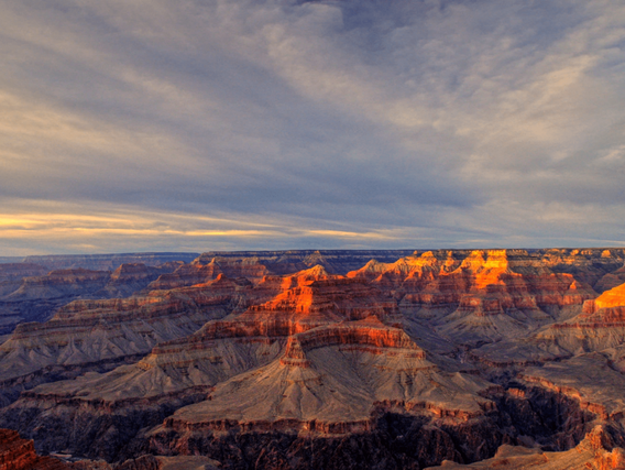
As the rock layers have different characteristics (mineralogical and textural), they will show different responses (resistance) to erosion processes. Thus, there will be layers that erode more quickly than hard layers - the result is the distinctive step-like profile of the Grand Canyon walls that we see today.
Weathering and erosion are ongoing processes and will continue to shape the Grand Canyon over geological time, even through future tectonic events.
The Grand Canyon truly represents one of the geological wonders of our planet!
Did you like this content? Click here and access more content like this and on various mining topics.