May 8, 2020
Geophysics studies the physical phenomena that occur on Earth, both in the uppermost layers (crust) - where the mineral resources (oil, minerals, water) - and in the deeper portions (mantle and core), which are known only through geophysical information. Among the physical phenomena studied are:
We can divide this branch of science into Pure Geophysics and Applied Geophysics. The former generally provides information for studying the structure and composition of the Earth's interior. The latter comprises a set of methods and techniques used to solve problems such as prospecting for minerals, hydrocarbons and groundwater, environmental studies and engineering. engineering among others.
These methods have become a mandatory tool in mineral exploration and mining work. One of the main advantages of using these techniques over traditional means of subsurface investigation, such as boreholes, is the speed with which large areas can be assessed at a relatively lower cost. The use of geophysics to indicate mineralised zones, for example, can reduce the amount of negative drilling (barren holes) by 30% to 50%.
Despite the advantages, geophysical exploration should not be applied in isolation in mineral prospecting. It is part of an exploration sequence that involves the application of various geological and geochemical investigation methods.
Exploration geophysics investigates the first five kilometres of the earth's crust, allowing local geological conditions to be assessed through contrasts in the physical properties of materials in the subsurface. These properties can originate from lithological differentiations and other heterogeneities in the environment, whether natural or not.
Variations in physical properties are related to the concentration of economically important minerals (ore minerals) or to the structures in which these minerals are found. As the concentration of ore minerals is controlled by geological phenomena, it is possible, based on knowledge of these phenomena, to establish a prospecting strategy with the most suitable geophysical methods for detecting them.
In this context, it is possible to assertively plan essential stages during mineral exploration, such as the location of boreholes. In other phases of a mining project, these methods also make a significant contribution.
In the implementation stage of a mine and during its operation, geophysical profiling methods offer great advantages, such as determining the depths of contacts and geological structures, given the difficulty of fully recovering the rock during drilling. Assertive knowledge of the depths of contacts and geological structures has a direct impact on the study and determination of mineralised zones.
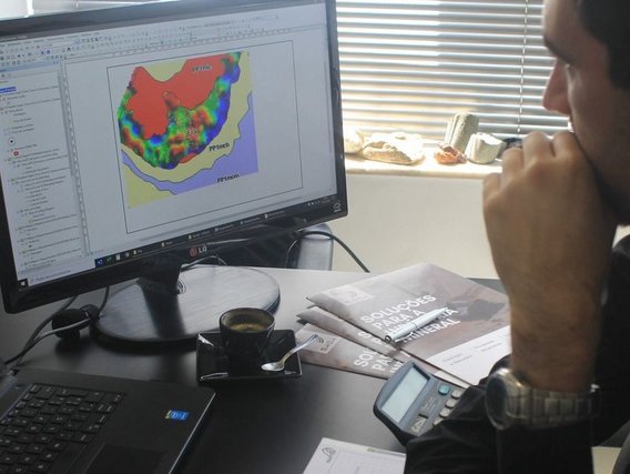
Generally speaking, in addition to prospecting and delineating bodies and structures of interest in mineral research, geophysics has also been a great resource for defining areas for dams and waste rock and tailings piles and for monitoring the behaviour of these works, which are affected by variations in the climate, as well as the changes intrinsic to the evolution of these constructions.
In the final stages of a mining project's life cycle, geophysics can provide support in stages such as environmental monitoring.
Among the main methods for mineral research on surfaces are electrical prospecting, gravimetry, magnetometry and electromagnetic prospecting.
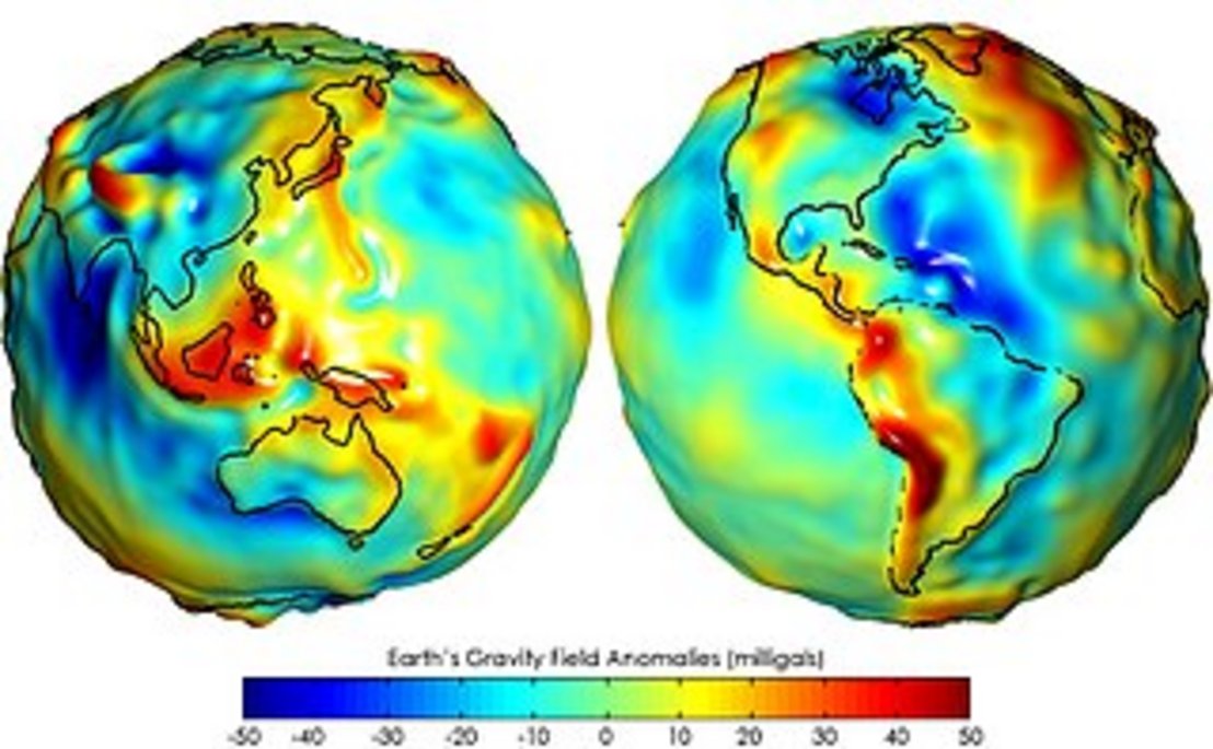
The application of this method is fundamentally related to the difference in rock densities. A body with a higher density than the surrounding rocks produces an increase in mass. This "extra" mass is known as a positive anomaly. The opposite, when a body has a lower density than the host rocks, is called a negative anomaly.
As well as being used in the mining sector to describe metallic bodies, it can be used to reveal the subsurface shape of igneous intrusions; in hydrogeological investigations to determine the geometry of potential aquifers.
In this methodology, what is measured with the equipment, the gravimeters, is the variation in the value of g (gravity), which can be caused by a variety of geological situations. Gravimeters are very sensitive to identifying variations caused by mineral deposits that can produce fluctuations in g values of around 0.001%.
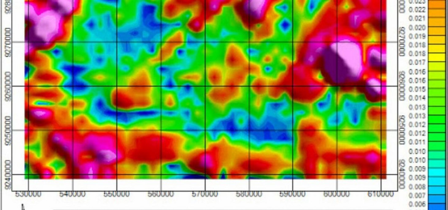
It is one of the most versatile methods, both in terms of its ease and speed and the lower cost of field surveys, although it is complex to handle. This technique detects magnetic anomalies in the earth's field and is widely used in mineral prospecting.
Areas of application include: oil exploration, thickness assessment in basins, direct prospecting for magnetic minerals; groundwater in fractures, sediment thickness, engineering works, among others.
The basis of this method is that magnetic observations provide information on the concentration of non-magnetic minerals, since they generally occur in association with minerals that produce magnetic anomalies.
The equipment used for these magnetometric surveys are variometers and magnetometers.
Iron ore deposits are often abundant in magnetite and can therefore be easily located using magnetometer surveys. Other uses of this method are the localisation of intrusive complexes containing disseminated sulphides of copper, nickel, iron and molybdenum.
Electrical methods for metal mineral prospecting are widely used because they are low-cost within geophysical prospecting. Basically, this method studies the behaviour of electric current flow in the geological environment.
The electrical methods most commonly used in mineral prospecting are as follows:
The application of most electrical methods in mineral prospecting for metals consists of measuring the impedance of surface materials and interpreting it on the basis of geology.
In mineral deposits, resistivity values depend on the percentage of each ore present in the deposit, as well as how it is distributed in the rock and, obviously, the composition of the ore mineral.
It is based on the propagation of low-frequency electromagnetic fields, either above or below the surface. Widely used in mineral exploration;
Electromagnetic methods for mineral prospecting involve the propagation of low frequency electromagnetic fields. These methods have wide application and are based on two fundamental physical phenomena: electricity and magnetism. Both phenomena are interrelated.
The equipment is much more sophisticated, with transmission systems using generators and reception systems using coils. Field surveys are based on rules for positioning the coils (horizontally and vertically) and also the layout of the acquisition lines in the field. The survey results are presented in profiles of distance versus angle read.
The application of nuclear techniques makes it possible to determine the distribution of a series of elements present in the minerals and rocks that make up the Earth.
Among the chemical elements present in these minerals, naturally occurring radioactive elements are of particular interest due to their economic and strategic value and their usefulness in geochronological methods (methods that make it possible to calculate the age of a particular rock or mineral), through the isotopic ratio between the various radioactive elements and their series.
The method can be used in geological mapping. It can also be used in direct prospecting for radioactive minerals and indirect prospecting for metallic sulphides, given the relationship between mineralised zones associated with hydrothermal alteration processes and anomalous imbalances of the elements U, Th and K.